Description: Das ATKIS Basis-DLM bildet die topographischen Objekte einer Landschaft in Form von Vektordaten und unterschiedlichen Attributwerten ab. Die vorliegende Präsentation dient der Veranschaulichung der Strukturen dieses komplexen Datenmodells.
Global identifier:
Uuid(
    7f44a07d-36f3-3d4c-940d-5748c15932e5,
)
Types:
Origin: /Bund/GovData
Tags:
ATKIS
?
Vektordaten
?
Datenmodell
?
Landschaft
?
Bounding boxes:
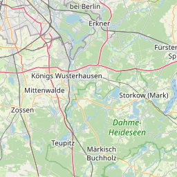
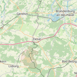
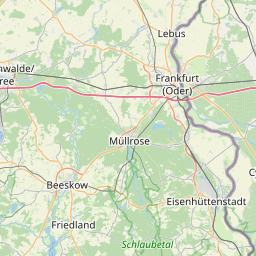
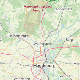
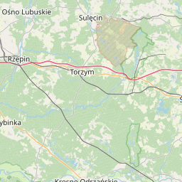
13.079° .. 13.7701° x 52.3284° .. 52.6877°
License: dl-zero-de/2.0
Language: Deutsch
Organisations
-
GDI-DE (Bereitsteller*in)
-
Senatsverwaltung für Stadtentwicklung, Bauen und Wohnen Berlin (Herausgeber*in)
Modified: 2025-03-06
Time ranges:
2025-03-06 - 2025-03-06
Resources
Status
Quality score
- Overall: 0.82
-
Findability: 0.62
- Title: 0.00
- Description: 0.22
- Identifier: true
- Keywords: 1.00
- Spatial: BoundingBox (0.50)
- Temporal: true
-
Accessibility: 1.00
- Landing page: Specific (1.00)
- Direct access: true
- Publicly accessible: true
-
Interoperability: 1.00
- Open file format: true
- Media type: true
- Machine-readable metadata: true
- Machine-readable data: true
-
Reusability: 0.67
- License: ClearlySpecifiedAndFree (1.00)
- Contact info: false
- Publisher info: true
Accessed 1 times.