Description: Digitale Orthophotos Bodenauflösung 20 cm (2018):Digitale Orthophotos Bodenauflösung 20 cm (2018)
Global identifier:
Uuid(
    39617f32-0e35-38ca-f850-de964690a363,
)
Types:
Origins:
/Land/Saarland/LVGL
/Land/Saarland/MetaVer
Tags:
DEHP
?
Saarland
?
Orthofoto
?
Open Data
?
Luftbild
?
basisdaten
?
infoMapAccessService
?
Bounding boxes:
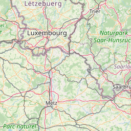
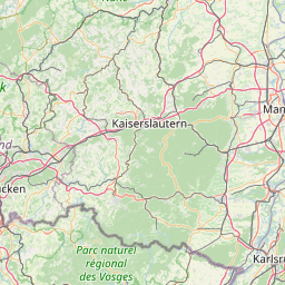
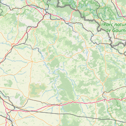
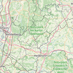
6.35461° .. 7.41299° x 49.1083° .. 49.6434°
License: dl-by-de/2.0
Language: Deutsch
Organisations
-
LVGL-Saarland (Bereitsteller*in)
-
Landesamt für Vermessung, Geoinformation und Landentwicklung (Herausgeber*in)
Modified: 2025-05-30
Time ranges:
2025-05-30 - 2025-05-30
Resources
Status
Quality score
- Overall: 0.85
-
Findability: 0.72
- Title: 1.00
- Description: 0.12
- Identifier: true
- Keywords: 0.71
- Spatial: BoundingBox (0.50)
- Temporal: true
-
Accessibility: 1.00
- Landing page: Specific (1.00)
- Direct access: true
- Publicly accessible: true
-
Interoperability: 1.00
- Open file format: true
- Media type: true
- Machine-readable metadata: true
- Machine-readable data: true
-
Reusability: 0.67
- License: ClearlySpecifiedAndFree (1.00)
- Contact info: false
- Publisher info: true
Accessed 1 times.