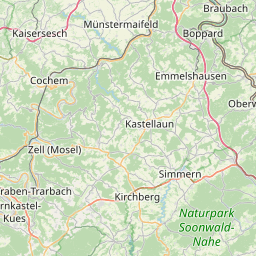


Description: Kennzeichnendes Strassen-, Platz- oder Ortsbild, kennzeichnender Grundriss
Global identifier:
Url(
    "http://www.geoportal.rlp.de/registry/spatial/dataset/40dae21a-5db2-927e-75ba-fa01a1ca82b5",
)
Origins: /Land/Rheinland-Pfalz/GDKE /Land/Rheinland-Pfalz/GeoPortal.rlp /Land/Rheinland-Pfalz/open.rlp
Bounding boxes: 7.18867° .. 7.76635° x 49.8347° .. 50.2701°
License: mehrere (offen)
Language: Deutsch
Issued: 2023-12-06
Modified: 2023-12-06
Time ranges: 2016-02-09 - 2025-06-05
Accessed 1 times.